Field Notes from BNRC’s High Road Manager
My map guides me to an opening beneath the ridgeline, and I enter a basin of towering stone ledges that surround me like an amphitheater. Gravity has been at work here, casting pieces from the walls into the boulder-filled chasm where I stand.
I scramble over fragments of rock, careful not to step into one of the many crevices concealed beneath the thin layer of moss that connects between them like fascia. I stop for a moment atop an elevated slab, looking toward the surrounding sheer cliffs. I envision the future trail that will carve its way through this seemingly impenetrable field of debris. I imagine hikers marveling at the walls of ancient strata, looming high above even the largest trees, which have grown tall in their quest to compete for the limited sunlight on this side of the ridge.
But I am not here to imagine. I am here to collect data.
This will be one of the most logistically challenging sections of what will ultimately become a new section of The High Road. And so, I want to get an accurate measurement, since this will inform the design work which will follow. That means walking— as best as I can—over the lattice of fallen trees and car-sized boulders.
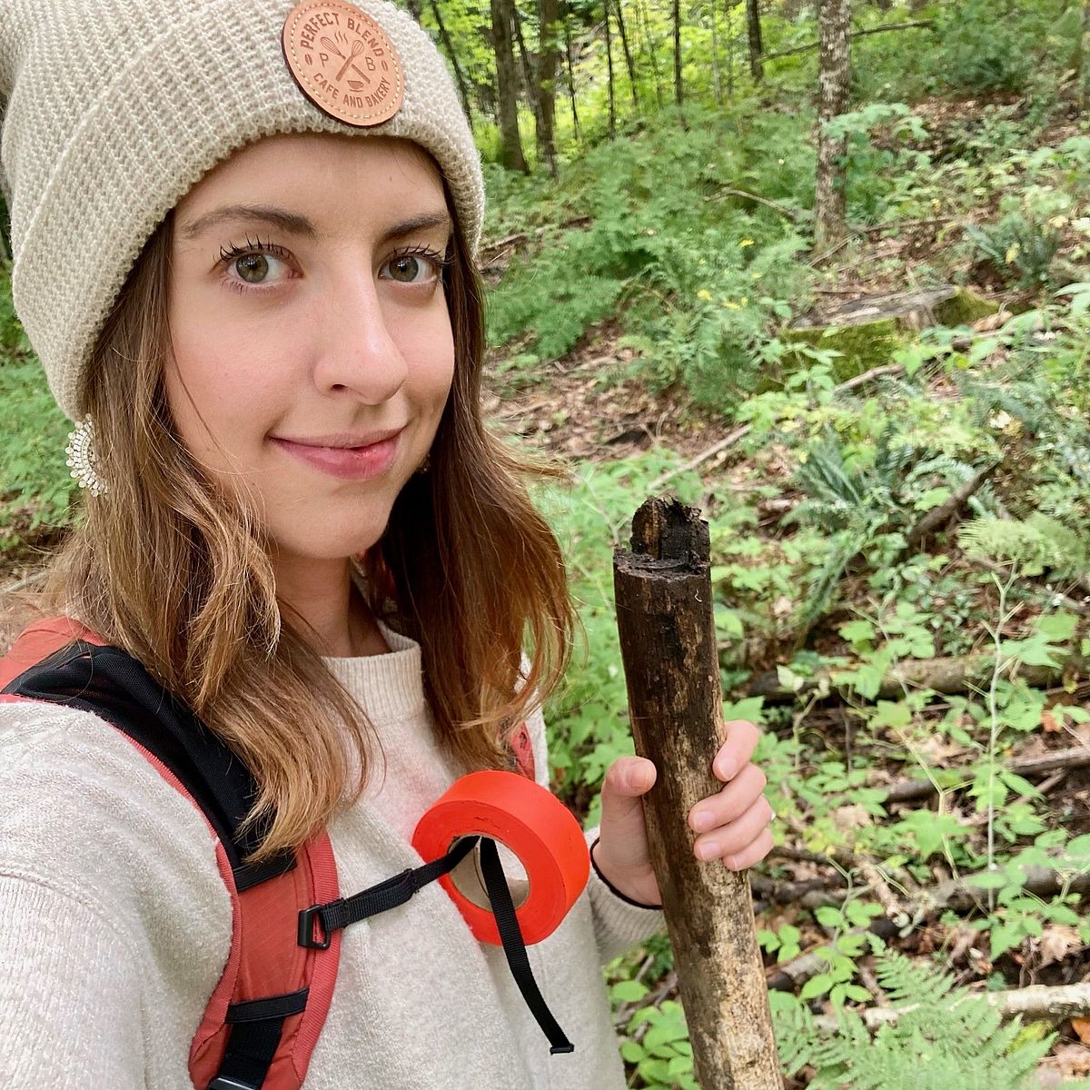
Typically, I’d use a survey wheel to measure the length of a proposed trail section, but that isn’t practical here. A GPS track will have to suffice. I pull a piece of fluorescent pink flagging tape from my pack and tie it around the trunk of a beech sapling. This is one of many pieces of tape that will mark the location of the trail.
Trail planning is as much of an art as it is a science; it’s where objective metrics like “riseover-run” meet subjective qualities like “flow” and “scenic value.” There are innumerable factors to consider, such as feasibility, grade, soil composition, accessibility; the list goes on.
It takes more than a bit of optimism to imagine a trail could ever be built here. But experience has told me that not only will it be possible, but that the finished product will be well worth the effort. With trails—as with life—sometimes the hardest won battles have the greatest payoff.
The irony of trail planning is that it involves a great deal of hiking where there is no trail. You can only get so far drawing lines on a map. The real work happens outside, in the elements. This year, those have included some of the highest rates of rainfall on record and more mosquitoes than I can recall in recent memory.
While my appetite for field work waned a bit in late summer and early fall, I remind myself that in a few short months, muggy afternoons spent outside will be replaced by many weeks in the office. The days will be shorter, colder, and unconducive for this type of work. I have no doubt I’ll be wistfully counting the days until the snow melts, revealing the flagging tape that has been patiently waiting beneath it, and looking forward to discovering the next new High Road section.
Maybe the mosquitos aren’t so bad after all.