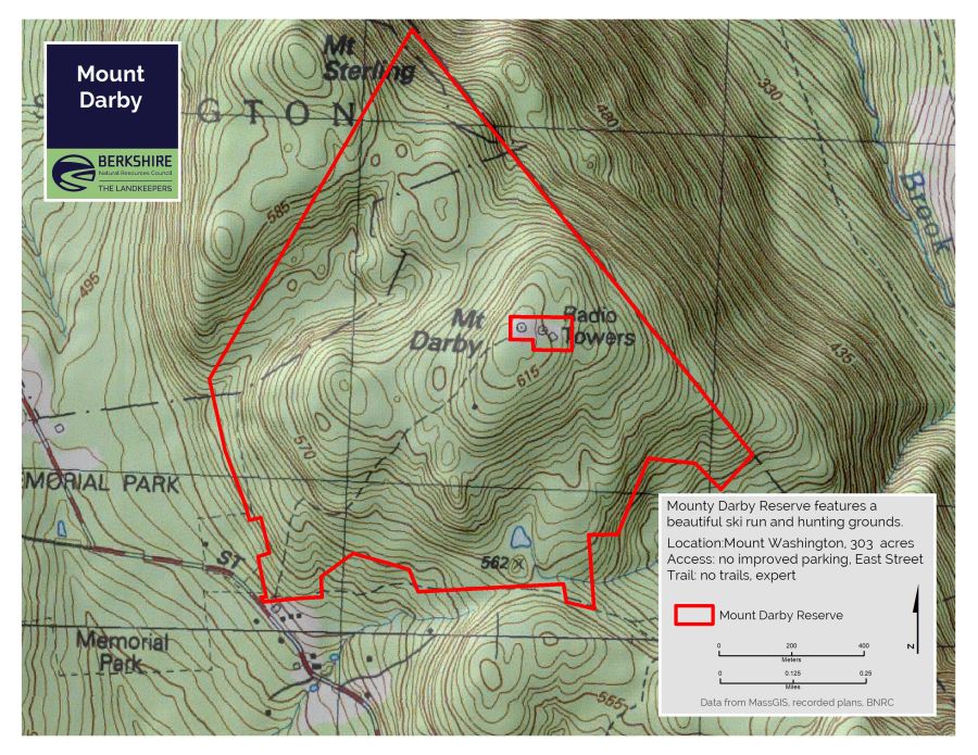
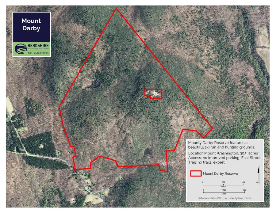
Mount Darby
Note: Only accessible by private road; off-trail the property is nearly impassable due to dense mountain laurel
High-elevation woods filled with oak and mountain laurel, accessible by a road to the summit radio towers. Outstanding skiing.
Highlights
- Mount Washington, MA
- Difficulty: Expert, No maintained trail
- Size: 303 acres
- Special features: Road to summit good for walking, skiing, sledding
Activities
Difficulty
This land, and all of the present-day Berkshires, are the ancestral homeland of the Mohican people, who were forcibly displaced to Wisconsin by European colonization. These lands continue to be of great significance to the Stockbridge-Munsee Mohican Nation today. To learn more, visit mohican.com.
Directions & Parking
GPS
- Frontage: Google Maps | 42.1259, -73.4658
Parking
There is no parking is available. Located Between 32 and 40 East Street, Mount Washington.
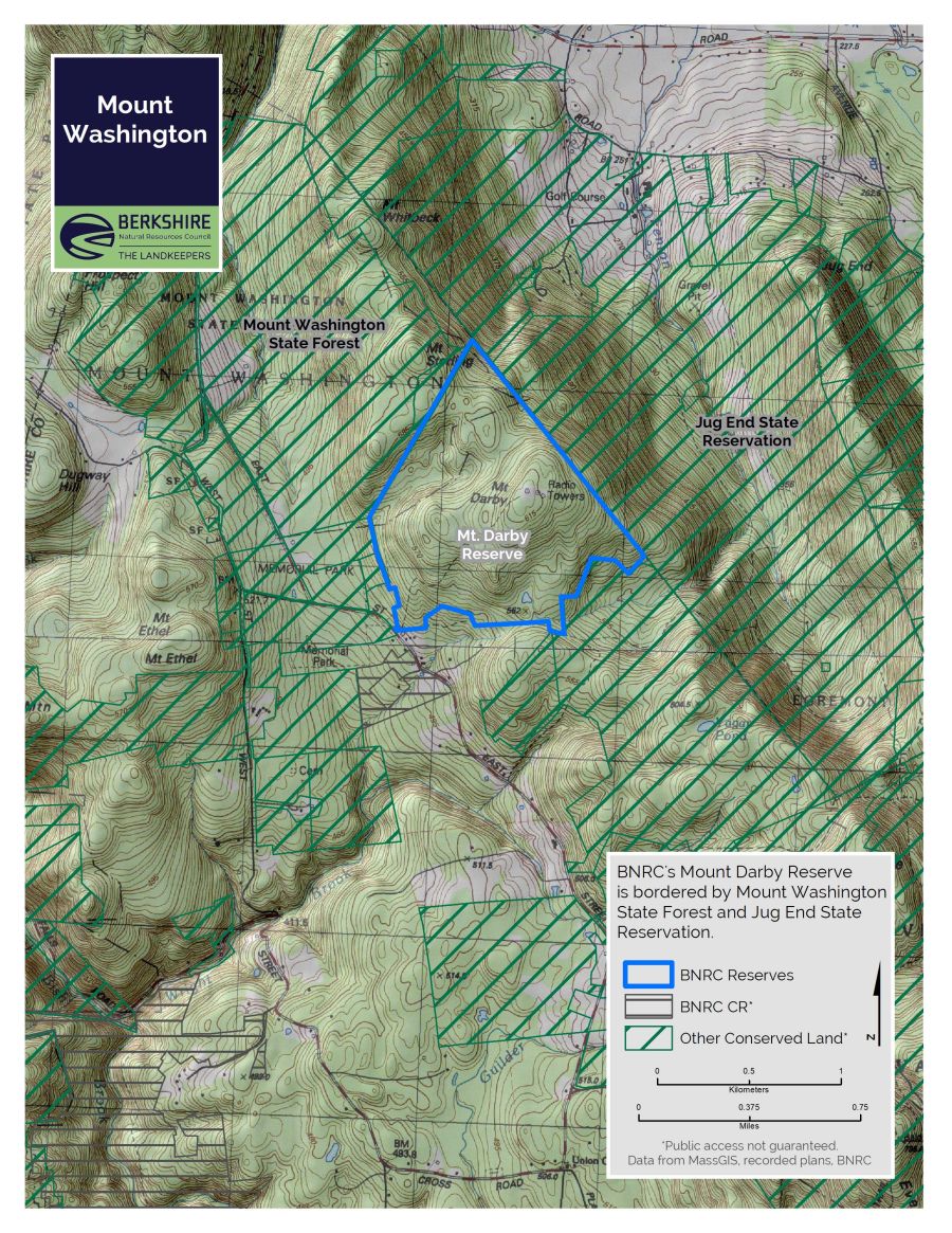
About the Reserve
Mount Washington boasts some of the county’s most appealing hiking trails. Escape the (relative) crowds with a walk, snowshoe or (best) ski up and down the Mount Darby access road. The tract is open for hunting and other off-trail exploration.
The 323-acre Mount Darby Reserve was acquired in partnership with The Nature Conservancy and MassWildlife. You’re welcome to visit, but there is no improved parking (you can carefully pull off East Street by the gate), no trails (except the tower road), and the mountain laurel is so thick that it’s easier to climb than to walk. But all that said, this is still a great place to explore.
Most interesting feature: at the time of the acquisition in 2010, there were only tiny streams and a vernal pool; one year later we stumbled on a brand-new, 3-acre beaver pond complex. Busy, busy beavers! Look for that complex on the aerial photo at the northwest.