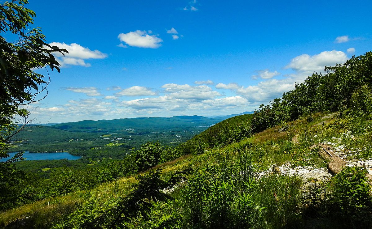
The High Road crosses Lenox Reservoir Road where hikers can park and the trail north to Lenox Mountain begins. The trail crosses land managed by Lenox Water Company, BNRC, and Mass Audubon illustrating the many partnerships that undergird The High Road. Starting on a logging road that crosses several streams, the trail turns north and begins a gentle rise up Lenox Mountain along Yokun Ridge through a rich mix of both deciduous and coniferous groves. The last section of the trail is short but steep and eroded. The western view at the top of Lenox Mountain includes Richmond Pond, Pittsfield, and Hancock, including Hancock Shaker Village and Berkshire Community College. If the weather cooperates, the apple trees in Bartlett’s Orchard will be in bloom to enhance the view and to perfume the air at the summit.
You can find more information on The High Road here.
Registration opens Tuesday, April 21 at 9am on OLLI’s website: Register here
Location: The High Road, Lenox
Trail Details: Moderate to Difficult.
Directions to the trail head: From the North, take West Mountain Road past Pleasant Valley Audubon Sanctuary. Reservoir Road is the first road on the right south of Pleasant Valley. From the South, take Cliffwood Road in Lenox which becomes Reservoir. At the intersection with West Mountain Road ignore the Road Closed sign. The road is open to the parking lot where the hike will begin.
What to Bring: All hikes are on Wednesdays and begin at 9:30. We strongly recommend using hiking poles. If you don’t have them, we can provide poles for the hike. Good hiking shoes are essential.
Cancellation: If we need to cancel the hike due to rain, we will notify participants by email by 7:00 AM the day of the hike.